
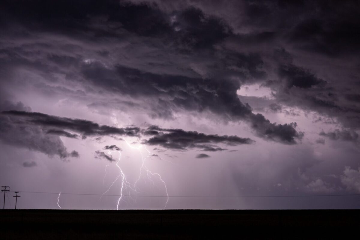
Severe thunderstorms are sweeping across Maryland this Fourth of July evening, with warnings and watches covering most of the state.
What’s Happening: The National Weather Service in Sterling, Virginia issued a Severe Thunderstorm Warning for northwestern Charles County until 6:30 p.m. At 5:30 p.m., storms were moving northeast at 20 mph along a line from near Potomac Creek to near Spotsylvania.
What’s Important: The warning calls for wind gusts up to 70 mph and quarter-size hail. Those winds can knock down trees, block roads, damage homes and vehicles, and knock out power. Loose outdoor objects could become airborne.
How This Affects Real People: The National Weather Service says to go inside and move to an interior room on the lowest floor. Lightning is striking with these storms. If you can hear thunder, you are close enough to be hit by lightning.
What We Know: A Severe Thunderstorm Watch runs until 10 p.m. for most of the state, covering Anne Arundel, Allegany, Baltimore City, Baltimore County, Calvert, Carroll, Cecil, Charles, Frederick, Garrett, Harford, Howard, Montgomery, Prince George’s, St. Mary’s, and Washington counties. Dorchester, Somerset, Wicomico, and Worcester counties on the lower Eastern Shore are also under a watch until 10 p.m. Caroline, Kent, Queen Anne’s, and Talbot counties on the upper Eastern Shore are under a separate watch until 11 p.m.
By the Numbers:
- 70 mph: Maximum wind gusts forecast.
- Quarter-size: Hail diameter forecast.
- 20 mph: Storm movement speed, heading northeast.
- 6:30 p.m.: Warning expiration for Charles County.
- 10 p.m.: Watch expiration for most of Maryland and the lower Eastern Shore.
- 11 p.m.: Watch expiration for the upper Eastern Shore.
Discover more from The Free State Press
Subscribe to get the latest posts sent to your email.