

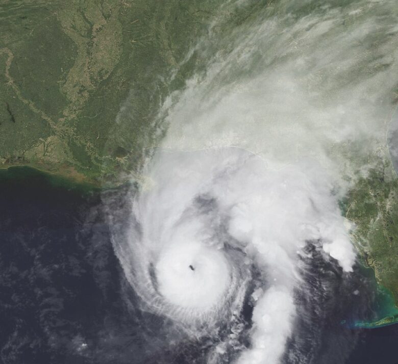
Maryland could see heavy rain, gusty winds, flooding and isolated severe storms Sunday as the remnants of Hurricane Isaias move through. The worst conditions are expected Sunday through the evening before the weather improves Monday.
What’s Happening: The storm will reach Maryland late Saturday night, according to the National Weather Service’s Saturday morning forecast. Most areas could receive 1 to 2 inches of rain, with totals of up to 3 inches in some places.
What’s Important: Wind gusts of 20 to 30 mph are expected across much of the state. Isolated tornadoes are also possible Sunday, with the main storm concerns in central and eastern Maryland.
Coastal Flooding: Higher water levels on the Chesapeake Bay could flood vulnerable shorelines. A coastal flood watch is in effect Sunday afternoon and evening for Annapolis and Anne Arundel County, where water could rise up to one foot above ground in low-lying areas, including Annapolis City Dock.
Across Maryland: The Eastern Shore could receive 1 to 2 inches of rain, with isolated totals of 3 inches and a marginal tornado risk. Western Garrett County is under a wind advisory, with gusts up to 50 mph possible Saturday night into Sunday morning.
How This Affects Real People: Heavy rain could cause street and flash flooding in low-lying areas and places with poor drainage. Gusty winds and falling tree limbs could also cause isolated power outages.